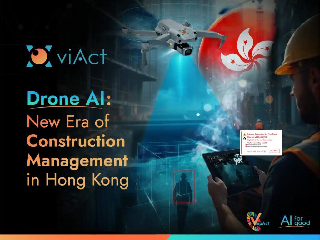

Hong Kong is taking bold strides into a new industrial revolution — not on the ground, but in the skies just above it. The government has officially begun harnessing the “low-altitude economy” as a growth driver, positioning drones and AI as critical tools for modern industries.
Among the many applications, construction management stands out as one of the biggest beneficiaries.
Hong Kong’s skyline has always been a symbol of progress, with cranes, scaffolding, and high-rises constantly shaping the city. Yet, the sector has long been plagued by persistent challenges: labor shortages, cost overruns, safety risks, and tight project timelines. Traditional site inspections and monitoring methods, though reliable in the past, now fall short of the demands of fast-moving mega-projects.
This is where AI Drone in Construction comes in — a transformative technology combining drones, artificial intelligence, and advanced data analytics. By providing real-time insights, 3D modelling, and automated progress tracking, drone AI is becoming the backbone of Hong Kong’s next leap in construction productivity.
What do Drones in the Construction Industry Bring?

This multipurpose agenda shows that the introduction of AI-powered drones into Hong Kong’s construction ecosystem isn’t just about flying cameras; it’s about intelligent systems that think, analyze, and act. It marks a shift from manual oversight to data-driven management.
For construction project managers, this means the ability to:
-
Monitor multiple sites simultaneously without leaving the office.
-
Receive instant alerts when materials, equipment, or workers are out of compliance.
-
Compare real-time data with project schedules to spot delays before they occur.
-
Reduce risks by detecting hazards invisible to the human eye.
In a city like Hong Kong, the deployment of AI-powered drones in construction not only improves productivity but also protects lives, enhances sustainability, and redefines how projects are delivered.
Technologies Driving the Revolution of AI Drone in Construction
Smart construction drones in Hong Kong are powered by a convergence of various advanced technologies. Here, we dive into the major technologies coupled with drones in the construction industry and how they reshape traditional practices.
1. Photogrammetry AI
– Going from Images to Living 3D Models
Photogrammetry enables drones to capture thousands of overlapping aerial images and transform them into highly detailed 3D maps. Unlike traditional surveying methods — where surveyors physically mark points with instruments — drones do the work in a fraction of the time and without putting workers at risk.
The smart drones layer refines photogrammetry outputs by aligning image data with construction timelines. Instead of just producing a static 3D model, AI makes the model “live” by tagging progress data, work zones, and material placement.
For instance, large-scale housing development projects, which would typically take weeks of manual surveying, with AI-driven drones, topographic surveys can now be completed in minutes with centimetre-level precision. This allows developers to create digital twins of projects that evolve in real time, helping stakeholders monitor site progress without stepping onto the site.
– Creating Laser precision where cameras struggle
LiDAR (Light Detection and Ranging) uses laser pulses to generate ultra-precise “point cloud” data, capturing even subtle shifts in terrain or structures.
AI Drone in Construction processes these massive point clouds by filtering noise, classifying objects like distinguishing between a crane and a scaffolding, and merging them with several other project system data. This method transforms billions of points into actionable intelligence.
In the case of hillside construction projects like those near Kowloon or Lantau, dense vegetation can obstruct traditional imaging. Drone-mounted LiDAR penetrates this foliage, mapping hidden terrain and underground access points. This is invaluable for projects like tunnelling or slope stabilization, where ground accuracy is critical for worker safety and preventing landslides.
3. GIS Mapping
– Smart maps that answer the “where” and the “when”
Geographic Information Systems (GIS) combine geospatial drone data into decision-making facilitators for scheduling and workforce management.
AI-powered drones in construction overlay flight-captured site images onto GIS layers. It then compares daily snapshots with project schedules, instantly highlighting areas lagging or zones that are complete. AI can even automate zone recognition, such as flagging restricted access areas.
For example, on major highway expansions, GIS-enabled drones can be of specific benefit for documenting daily progress. If a section of the project is falling behind schedule, managers are alerted before delays ripple through the entire project. This early intervention prevents budget overruns, which are common in such mega-infrastructure projects.
4. Machine Learning
– Building Quality Control and Inventory Sense
Machine learning equips drones with the ability to not just observe but to analyze and improve site performance over time. Instead of simply flying over a site and collecting footage, drones become intelligent assistants capable of spotting defects and tracking resources.
Drones in the construction industry can scan their different materials and components, comparing them against predefined quality benchmarks. For instance, concrete pours, welds, or steel alignments can be checked visually against trained AI models to detect cracks, surface defects, or irregularities in real-time.
At the same time, drones keep a digital eye on inventory — recording deliveries, monitoring stockpiles, and verifying that resources are being used efficiently rather than left to degrade or go missing.
On a high-rise project, drones equipped with machine learning models can inspect façade panels as they are installed, flagging any misalignments or defects before they require costly rework. Simultaneously, the same drones can track material usage across the site, ensuring that expensive items like steel bars or prefabricated components are logged, accounted for, and stored properly.
This combination of quality control and inventory management helps projects avoid waste, reduce losses, and maintain progress without costly delays.
5. Computer Vision
– Leveraging constant safety eyes on site
Computer vision technology, when integrated with drones, allows for the analysis of visual data and the detection of hazards and other unsafe practices pertaining to workers.
AI-trained computer vision models, when deployed in drones, can identify common issues across construction sites, such as PPE compliance, unsafe scaffolding, or loose wiring. It particularly helps to conduct efficient remote monitoring. Workers in risky remote construction areas can be placed under AI-powered drone surveillance with advanced safety vision, tracking each step.
They also measure distances in hard-to-reach zones like bridge undersides — tasks that would normally require scaffolding or rope access. This prevents workers from undergoing risky tasks and provides them with a safer environment.
With the city’s vertical growth, façade inspections for high-rises are risky and time-intensive. Drones equipped with intelligent vision can autonomously scan skyscraper exteriors, flagging cracks or misaligned panels. This reduces reliance on human inspectors dangling from ropes, improving both speed and safety and giving property maintenance a new revolution with drones.
6. BIM Integration
– Keeping the digital twin honest
One of the key advantages of AI Drone in Construction is their ability to directly feed data into BIM systems. AI compares real-world progress with digital plans, ensuring alignment in real-time. This makes BIM models living documents, continuously updated rather than static.
For example, in the creation of new residential and commercial hubs, smart drones can regularly capture aerial data and feed it into BIM. This ensures that massive housing blocks, transport corridors, and green belts being built align with master plans. With BIM integration, project managers can instantly see where construction progress deviates from plans, allowing for rapid corrections that save time and reduce rework.
7. IoT Integration
– The Environmental Safety Net
IoT sensors — such as weather monitors, dust level trackers, and emission detectors — enhance AI-powered drone’s environmental awareness.
Drones gather aerial visuals while IoT devices capture on-the-ground environmental data. AI merges these inputs, giving site managers a 360-degree perspective. For example, drones may identify dust clouds while IoT sensors measure their concentration and impact.
Given Hong Kong’s urban density and strict air-quality regulations, drone-IoT integration ensures construction sites remain compliant. During large tunnel boring projects, drones monitor emissions while IoT sensors validate that air pollutants stay within regulatory thresholds. This not only prevents fines but also aligns construction with sustainability goals.
The Future of AI-Powered Drones in Construction
The integration of AI-powered drones into Hong Kong’s construction industry is more than a technological upgrade — it’s the foundation of a new era in urban development. Each technology plays a role: photogrammetry and LiDAR give us precision mapping, GIS and BIM keep projects aligned, machine learning ensures quality and resource control, computer vision guarantees safety, and IoT makes construction more sustainable.
Imagine a future where every crane, scaffold, and tunnel boring machine is monitored not just by humans but also by an ecosystem of drones and AI working around the clock. Delays are spotted before they escalate, risks are managed before they turn into incidents, and sustainability targets are achieved without sacrificing productivity.
For Hong Kong — a city defined by rapid development and vertical skylines — intelligent drone isn’t just about keeping pace. It’s about setting a global benchmark for smarter, safer, and greener construction practices.
1. What makes AI-powered Drones different from just using regular drones?
Traditional drones are like flying cameras — they capture footage but can’t interpret it. AI-powered drones, on the other hand, uses technologies like computer vision, LiDAR, and machine learning to analyze what it sees. This means instead of just recording a worker on scaffolding, the AI can detect whether the worker is wearing a helmet or if the scaffolding is unsafe.
2. How is AI Drone deployed on construction sites?
Deployment usually follows 3 simple steps:
-
Assessment – Identify what you want to track (safety, quality, progress, etc.).
-
Integration – Connect drones with existing site data systems (BIM, IoT, or project schedules).
-
Operation – Launch drones for flights, with AI automatically analyzing images, videos, and laser scans.
Within a few days, project managers can start receiving real-time insights without disrupting ongoing work.
3. Can AI Drone work in Hong Kong’s dense urban environment?
Yes. AI-enabled Drone like viAct is well-suited for compact and vertical cities like Hong Kong. For example:
-
High-rises: Inspecting facades without human workers dangling on ropes.
-
Narrow spaces: Flying into lift shafts or tunnels for structural checks.
-
Congested sites: Mapping multiple zones simultaneously without disrupting workflows.
The system is designed to adapt to both open sites and tight urban landscapes.
4. What kind of drone for construction training required for site teams?
Surprisingly little.Most autonomous drone platforms are designed as plug-and-play systems. Once set up, drones follow automated flight paths, and the AI dashboard shows insights in a simple visual format. Site teams usually need just 1–2 training sessions to understand dashboards, alerts, and reporting.
5. Can one drone AI provider have all these technologies like LiDAR and BIM?
Yes, advanced Drone AI platforms like viAct integrate multiple technologies—photogrammetry, LiDAR, GIS, BIM, IoT, and computer vision—into one system, offering a complete construction management toolkit.
Ready to take on the New Revolution of Construction Safety with AI-powered Drones?