Skip to content
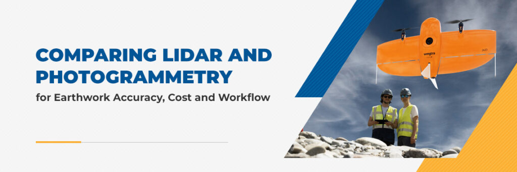

Drone surveying promises speed and efficiency, yet many fleet managers face choice paralysis. Should you invest in accessible photogrammetry systems or pay a premium for LiDAR (Light Detection and Ranging) sensors? While the decision is often driven by cost, it ultimately comes down to physics.
Comparing LiDAR and photogrammetry for earthwork accuracy, cost, and workflow comes down to one key difference—active measurement versus passive imaging. One captures structure; the other captures surface.
What Is LiDAR? The Power of Active Laser Measurement
LiDAR is an active system that emits hundreds of thousands of laser pulses per second. Each pulse measures the precise distance to a target, creating a dense 3D point cloud. A key advantage of LiDAR for drone surveying is its ability to penetrate vegetation using multi-return technology.
When a laser pulse hits a tree, it splits into multiple returns. Some energy reflects off leaves, some off branches, and some reaches the ground. Processing software can then filter out canopy returns to reveal a true bare-earth model beneath.
This capability is critical for preconstruction bidding on overgrown sites, where accurate cut-and-fill estimates depend on knowing ground elevation hidden under brush.
What Is Photogrammetry? Creating 3D Models From Images
Photogrammetry is a passive system that relies on a drone capturing hundreds of overlapping 2D images. Software then stitches these images together to generate a 3D mesh.
Its key strength is photorealistic texture. Unlike LiDAR’s monochromatic point clouds, photogrammetry produces models that resemble high-resolution photographs. This makes it ideal for stakeholder updates and identifying surface materials such as concrete versus soil.
However, photogrammetry only models what it can see. If tall grass covers a depression, the system interprets the top of the vegetation as the ground surface. On sites with dense vegetation, this can significantly skew earthwork volume calculations.
LiDAR vs. Photogrammetry: Comparison Table
Use this quick reference to match the right technology to your project needs:
| Feature | LiDAR | Photogrammetry |
|---|---|---|
| Method | Active (Laser Pulses) | Passive (Imagery) |
| Accuracy | High Absolute (3-5 cm) | High Relative (2-3 cm) |
| Cost | High Hardware / Low Processing | Low Hardware / High Processing |
| Best For | Vegetation, Complex Structure, Night Operations | Bare Earth, Stockpiles, Visuals |
| Deliverables | Classified Point Cloud (DTM) | Textured 3D Mesh |
Choosing Your Tool: Applications in Construction and Earthmoving
Selecting the right technology depends largely on site conditions.
When to Choose LiDAR
LiDAR is the better choice if your project involves:
- Preconstruction on overgrown sites: If you’re bidding on a development covered in dense vegetation, LiDAR is the only way to generate a true Digital Terrain Model (DTM) without clearing the site first.
- Complex corridors: Thin objects like power lines and lattice towers are often missed by photogrammetry but captured clearly in LiDAR data.
- Night operations: Because LiDAR provides its own light source, it can be used in complete darkness for applications like active mining or nighttime roadwork.
When to Choose Photogrammetry
Photogrammetry is ideal if your project requires:
- Progress tracking: Once a site is cleared and graded, photogrammetry is more cost-effective and sufficiently accurate (2–3 cm) for routine volume checks.
- Stockpile management: Clean piles of aggregate or soil can be measured accurately using a standard camera drone.
- Visual reporting: For marketing visuals or stakeholder updates, photogrammetry’s realism is unmatched.
Frequently Asked Questions About LiDAR vs. Photogrammetry
- Is LiDAR more accurate than photogrammetry?
On hard, bare surfaces like concrete, photogrammetry can rival LiDAR in accuracy. However, in vegetated environments, LiDAR is significantly more reliable. - Can you use both LiDAR and photogrammetry together?
Yes. Hybrid workflows are increasingly common. LiDAR can generate a precise ground model, while photogrammetry adds color and texture. - How much does a LiDAR drone survey cost?
While LiDAR hardware is more expensive, it often delivers a better ROI for survey firms by significantly reducing office processing time—especially when vegetation removal would otherwise require manual cleanup.
4. What Is the Best Drone for Earthwork Surveying?
For maximum flexibility, the WingtraOne GEN II allows you to swap between LiDAR and camera payloads on a single airframe. For dedicated tasks, DJI enterprise drones offer robust, mission-specific options.
Find the Right Surveying Solution for Your Jobsite
Ultimately, the right tool depends on your project’s life cycle stage. LiDAR wins the bid, while photogrammetry manages the build. SITECH Southwest supports both workflows. Whether you need the dual-payload versatility of Wingtra or the reliability of DJI, we provide the hardware and the specialized training with our Trimble Business Center office software to help you process the data effectively.
Refer to the official Trimble guide for detailed processing workflows. Contact a SITECH Southwest technology expert today or explore our drone and UAV solutions online.